Survey Systems delivers surveying and geospatial solutions across a wide range of project types throughout the United States. Our team supports federal, state, municipal, and private sector initiatives with an emphasis on accuracy, efficiency, and adaptability in challenging environments.
From remote mountain terrain and active waterways to urban infrastructure and confined spaces, we provide integrated data collection and deliverables that support planning, design, construction, and long-term asset management.
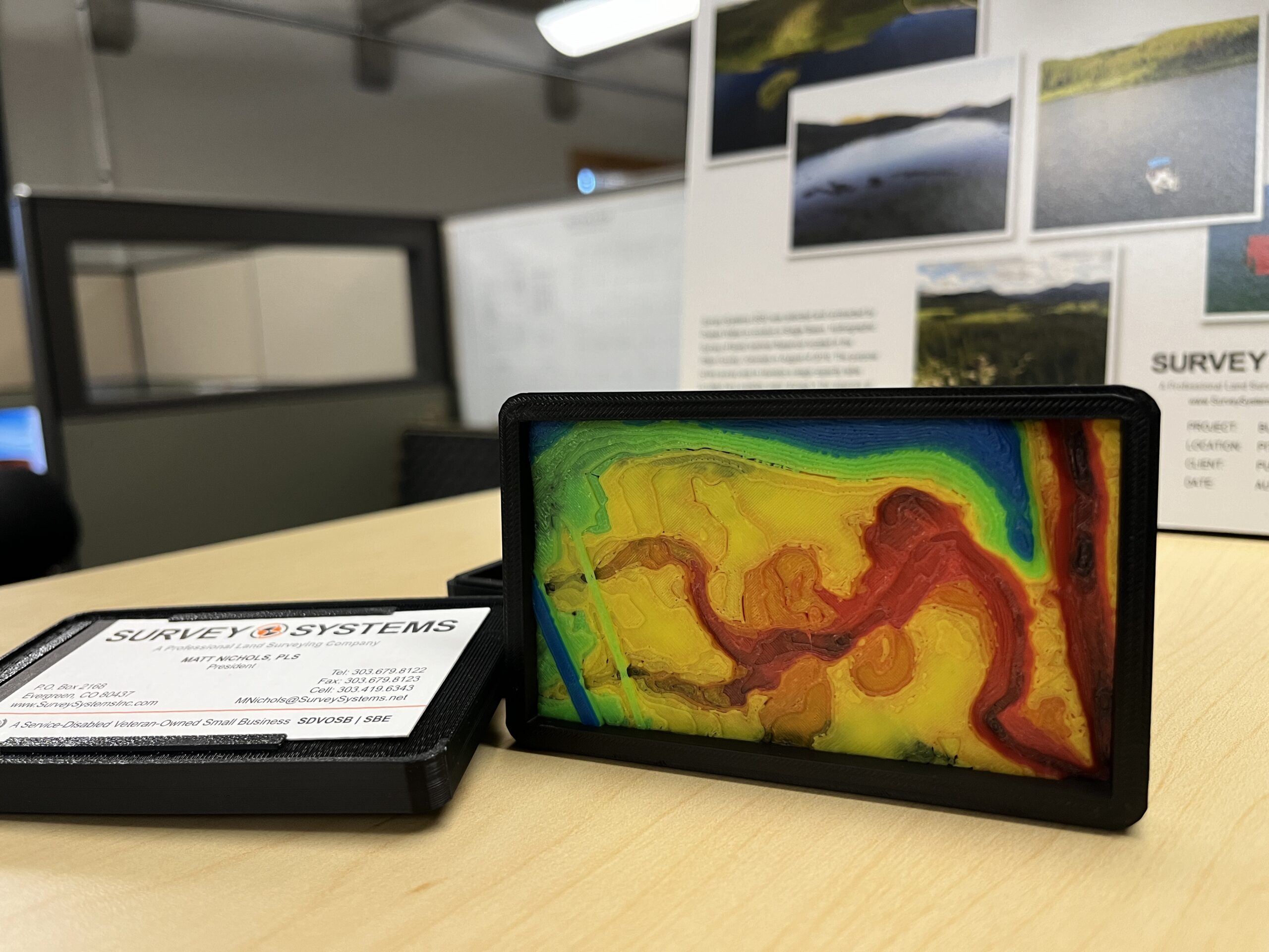
Survey Systems integrates terrestrial laser scanning and UAS-based photogrammetry to capture accurate, high-resolution spatial data. Our services produce detailed point clouds and mapping deliverables that support design, modeling, and project visualization.
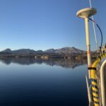
We perform hydrographic and bathymetric surveys for reservoirs, rivers, and water infrastructure using single beam and multibeam sonar systems. Our work supports sediment analysis, capacity studies, dredging design, and underwater mapping in both shallow and deep-water environments.
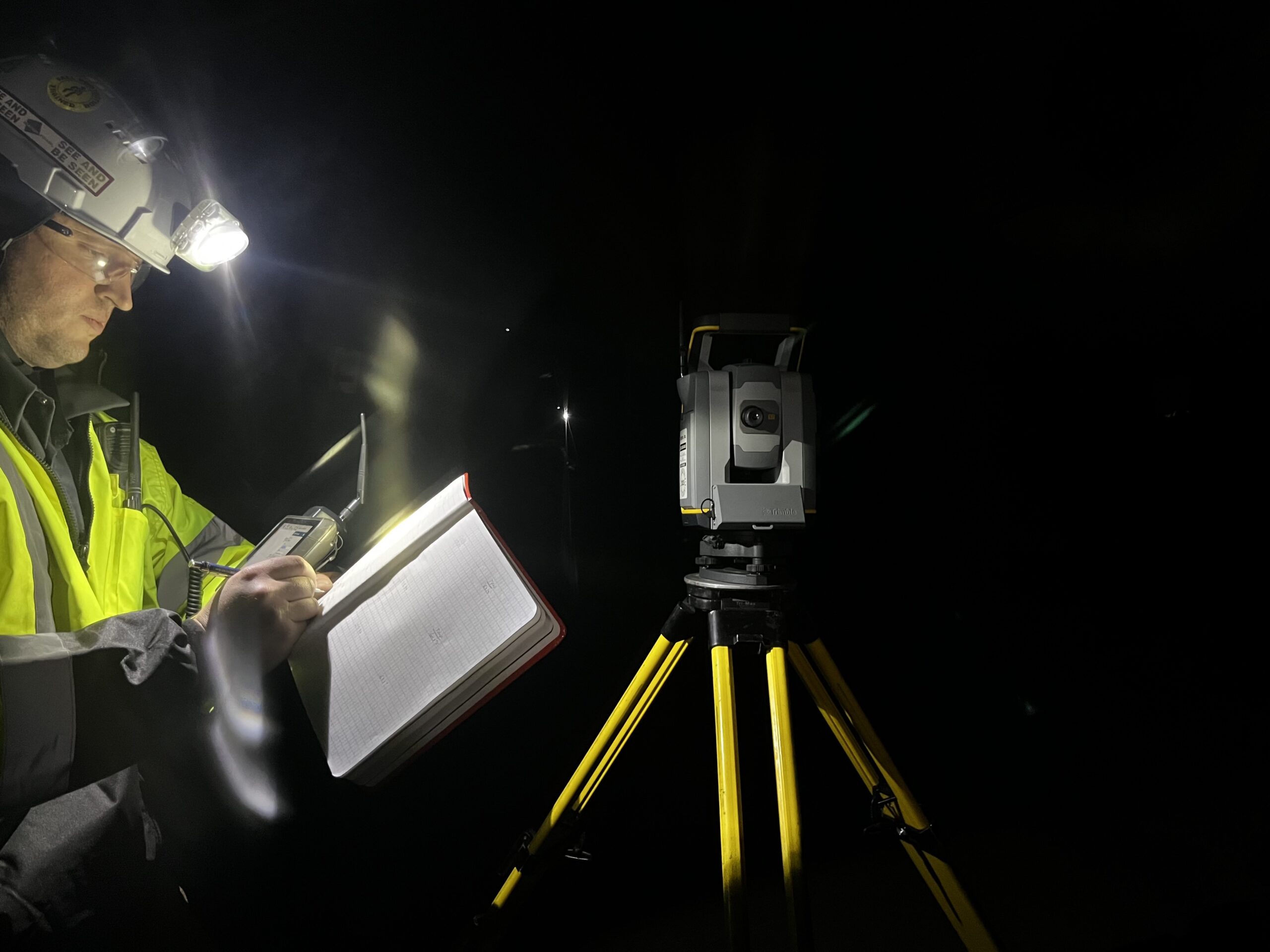
We provide surveying and scanning services in active mines, tunnels, and confined environments. Our team is trained and equipped to safely capture data in complex and hazardous conditions.
Survey Systems supports construction and infrastructure projects from pre-construction through completion. Our services include layout, staking, as-built surveys, certification surveys, and right-of-way mapping—delivering accurate data and reliable field support for transportation, utilities, and site development projects. We integrate seamlessly with project teams to ensure efficiency, coordination, and quality throughout construction.
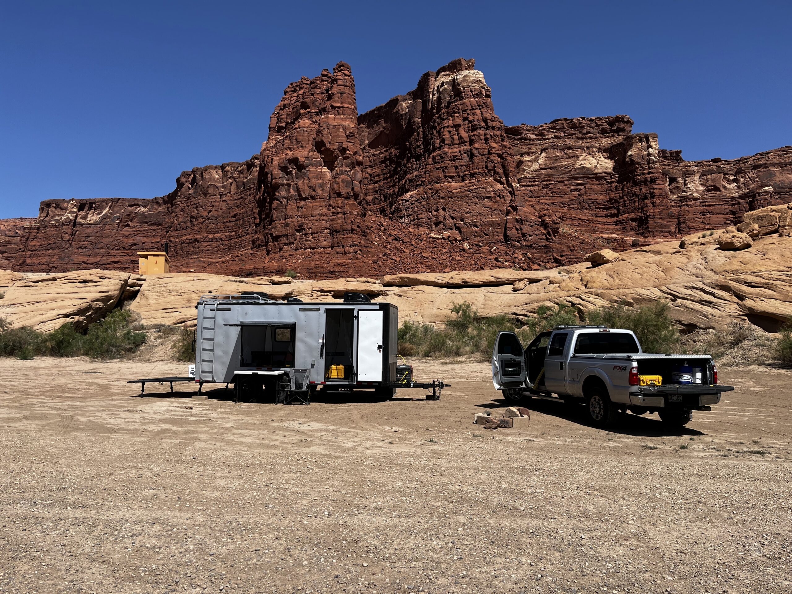
Survey Systems supports engineering teams with accurate surveying and geospatial data, including topographic surveys, control, 3D laser scanning, and photogrammetry. We provide reliable deliverables that integrate seamlessly into design and construction workflows.
Survey Systems is a Service-Disabled Veteran-Owned Small Business (SDVOSB) with proven experience supporting federal agencies nationwide. We deliver high-quality surveying and geospatial solutions across land, water, and complex environments—meeting the standards, coordination, and performance expectations of federal projects, including work with the Bureau of Reclamation, Department of Veterans Affairs, and U.S. Army Corps of Engineers.